MIYAGI
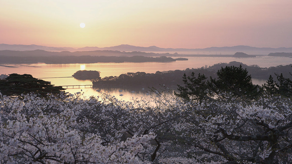
จังหวัดที่ตั้งของเซนได เมืองที่ใหญ่ที่สุดในภูมิภาคโทโฮคุ มีเสน่ห์ในเรื่องของเมืองใหญ่และธรรมชาติที่อยู่ร่วมกันอย่างลงตัว ที่แนวชายฝั่งนั้นนอกจากจะอุดมไปด้วยผลผลิตจากทะเลหลากหลายชนิดแล้ว ยังมีทิวทัศน์ที่สวยงามมากมายอย่างเช่นเกาะ "มัตสึชิมะ" ที่เป็นหนึ่งในวิวที่ว่ากันว่าสวยงามที่สุดในประเทศญี่ปุ่นSendai, the biggest city in Tohoku, is in Miyagi Prefecture where there’s a blend of urban culture and nature. All kinds of seafoods are available near the water, and there are many scenic spots including one of Japan’s three great sights, Matsushima.
-
1. สวนไซเกียวโมโดชิโนะมัตสึ Saigyo Modoshi no Matsu Park
สวนแห่งนี้จะมีดอกซากุระประมาณ 260 ต้นบานสะพรั่งในช่วงปลายเดือนเมษายนของทุกปี เนื่องจากตั้งอยู่บนเนินจึงได้รับความนิยมอย่างมาก เพราะสามารถชมทิวทัศน์ของอ่าวมัตสึชิมะผ่านดอกซากุระที่บานเต็มที่ได้อีกด้วย ชื่อของสวนแห่งนี้มาจากเรื่องราวของพระไซเกียวผู้เป็นนักกวี
Every year at the end of April the park’s 260 cherry blossom trees reach full bloom. Located on a hill, it is a popular hanami (flower viewing) spot where you can enjoy the fully blooming cherry blossoms against a stunning view of Matsushima Bay. The park is named after Saigyo, the Japanese poet and Buddhist monk.
Google Map -
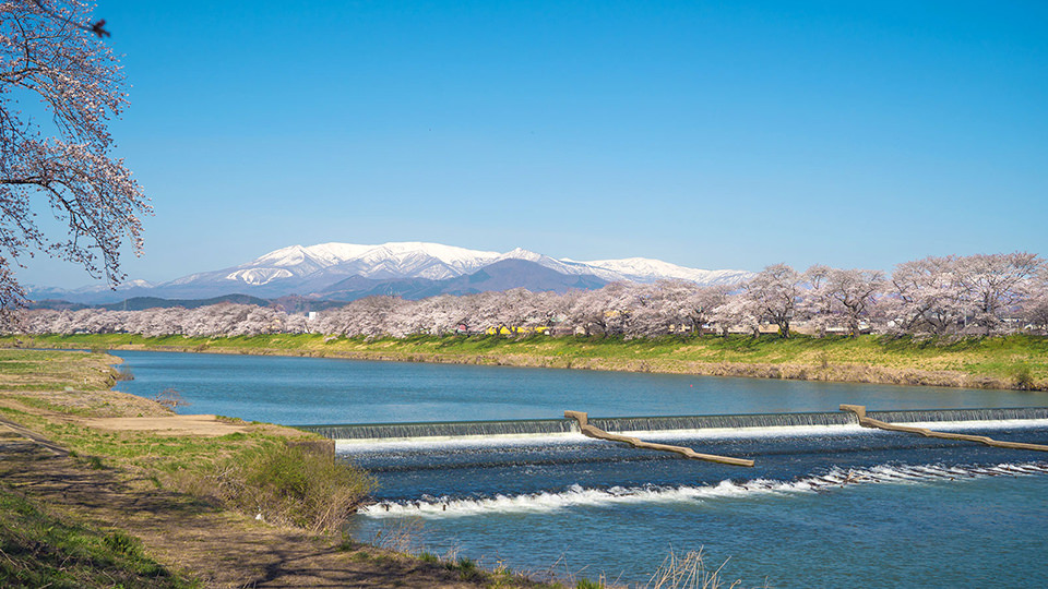
2. ฮิโตเมะเซ็มบงซากุระ Hitome Senbonzakura
ถนนสายซากุระที่มีซากุระมากกว่า 1,000 ต้นปลูกไว้ตั้งแต่ประมาณ 100 ปีก่อนบริเวณริมแม่น้ำชิราอิชิที่ไหลเอื่อย ชวนให้เดินชมดอกซากุระทั้งที่อยู่ตรงหน้าและบนเทือกเขาซาโอะสีขาวเปล่งประกายสีเงินที่อยู่ห่างไกลออกไป อีกทั้งในช่วงเทศกาลซากุระยังมีบริการล่องเรือชมซากุระด้วย
Hitome Senbonzakura, which translates to “a thousand sakura at a glance,” is a path along the quiet Shiroishi River lined with over 1,000 cherry blossom trees, which were planted about 100 years ago. Take a stroll while admiring the flowers up close against the backdrop of the far-off sparkling white Zao Mountain Range. There are also boat rides for flower viewing available during the cherry blossom festival.
Google Map -

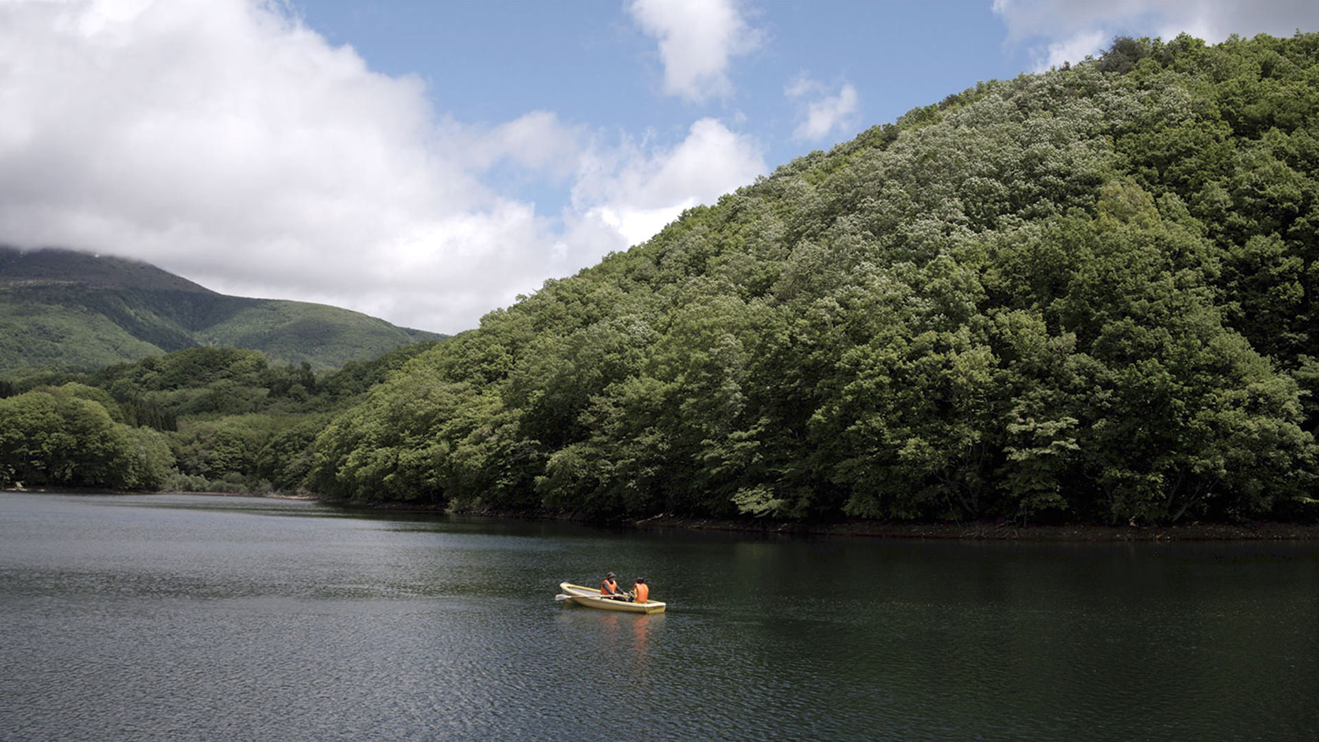
3. ทะเลสาบโจโรโกะ Lake Choro
ทะเลสาบที่มีเส้นรอบวงยาวประมาณ 2 กม. ครอบคลุมไปถึงพื้นที่เชิงเขามินามิซาโอ ทิวทัศน์ที่สะท้อนป่าดงดิบต้นบีชและยอดเขาขึ้นชื่อของภูเขาฟุโบซังให้คุณเห็นบนพื้นผิวทะเลสาบดั่งกระจกนี้ ช่างคุ้มค่าที่ทุกท่านจะมาชมอย่างยิ่ง รวมทั้งยังมีการสร้างทางเดินเพื่อให้คุณได้ชื่นชมบรรยากาศอันงดงามของฤดูกาลที่มีต้นไม้เขียวขจีอีกด้วย
With a circumference of roughly 2 kilometers, Lake Choro is located at the foot of the southern part of the Zao mountains. The view of the beech forest and the spectacular Mount Fubo reflecting on the mirror-like lake is well worth seeing. There is a walkway around the lake and it is particularly beautiful in the spring when the area becomes lush with new growth.
Google Map -
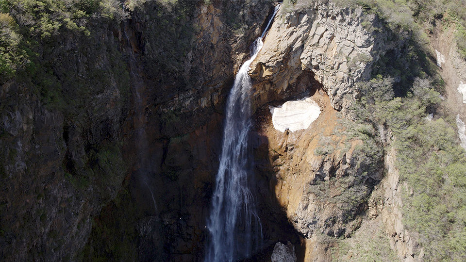
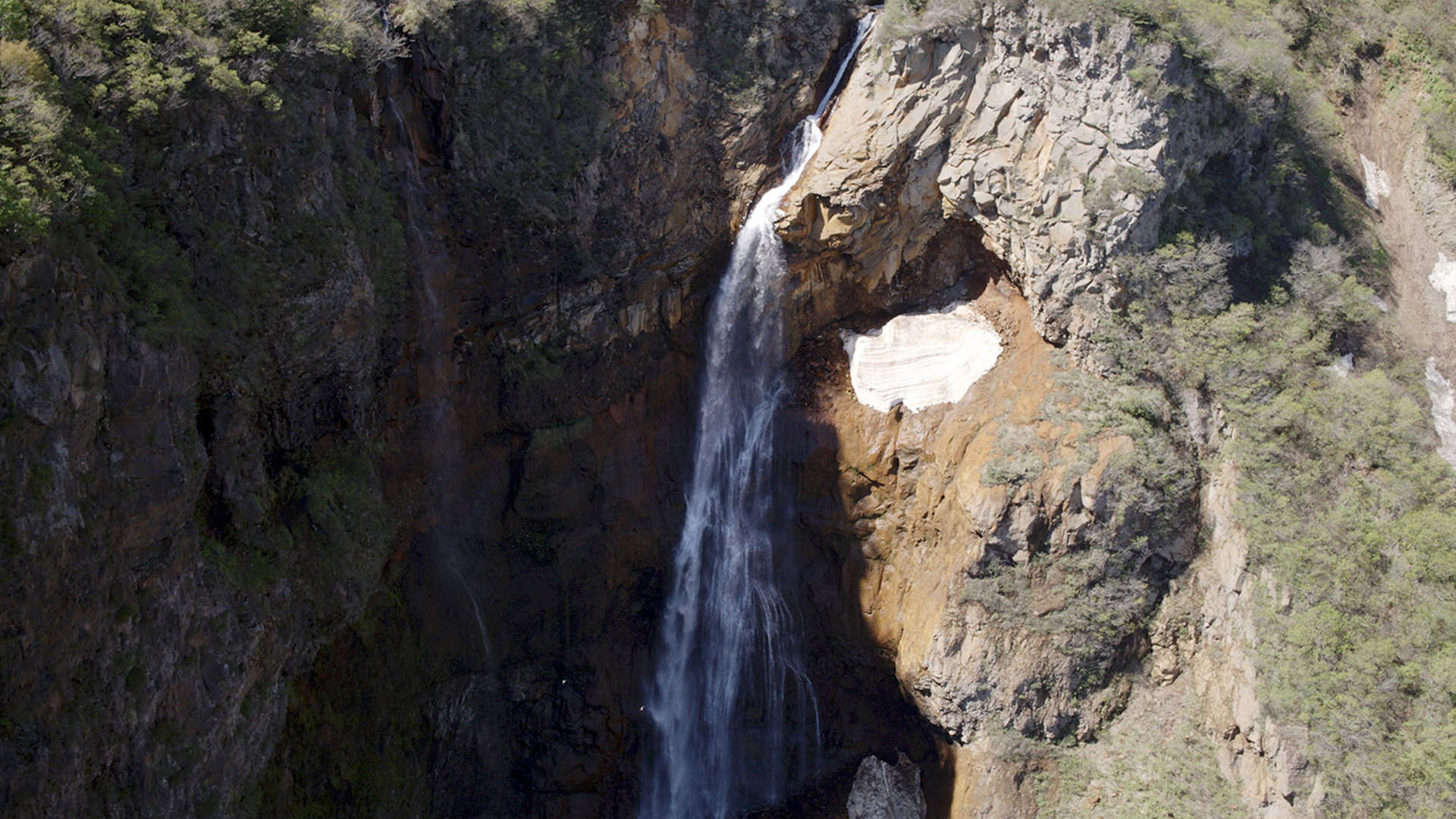
4. น้ำตกคาเอราซึโนะทาคิ Kaerazu Falls
น้ำตกที่มีชื่อเสียงที่กล่าวกันว่าเป็นที่สุดในซะโอ น้ำของน้ำตกแห่งนี้ไหลมาจากปล่องภูเขาไฟโอกามะและจะไหลกระทบผิวหินขรุขระลงมาเรื่อยๆ คุณยังสามารถมาชมทิวทัศน์จากจุดชมวิวของโคมาคุซะไดระที่ตั้งอยู่เลียบกับถนนซาโออีโคไลน์ได้ด้วย มีความสูงประมาณ 97 ม. กว้างประมาณ 14 ม.
Known as the best waterfall in the Zao mountains, the water flows out from a crater lake called “Okama” and splashes against the craggy rock face as it falls. There is a lookout point in Komakusadaira along Zao Eco Line that provides a great distant view of the falls. It is 97 meters high and 14 meters wide.
Google Map